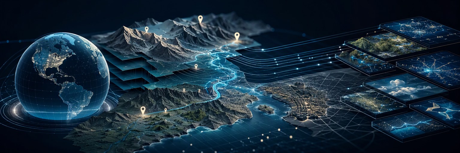
GeoMechanix brings geographic information into a structured platform for location-based applications, research, and operational planning. It combines geographic navigation with a catalog of geolocation datasets, helping developers and organizations connect digital information to the places it represents.
The platform applies my work in information architecture, data aggregation, and application development to a practical requirement: making geographic information accessible and useful across different systems and organizational needs.
Geographic Context and Local Relevance
Location gives information operational context. A service area, research finding, organizational record, or business opportunity becomes more useful when it can be associated with the relevant geographic area.
GeoMechanix approaches this requirement through geographic organization and navigation. Its world map connects users to country destinations, while regional classifications provide another way to explore the information environment.
This structure connects a global perspective with more focused geographic exploration. It also demonstrates how a shared platform can support distinct geographic destinations within a coordinated information architecture.
Geolocation Data Products
GeoMechanix provides a catalog of geographic data products intended for government, commercial, and research applications. The catalog includes country datasets for Canada, Mexico, and the United States, with personal-use and commercial-use licensing options.
The platform brings geographic discovery and product access into a common experience. Users can search the catalog by country and identify the dataset relevant to their intended application.
The underlying objective is to make geographic information reusable. Structured datasets provide a starting point for applications that need to organize records by place, compare locations, or connect external information with a geographic reference.
Information Architecture in Practice
Geographic systems depend on consistent relationships between places. Countries, regions, and local areas need to retain their identities while remaining connected to the broader structures in which they belong.
GeoMechanix reflects my approach to organizing these relationships through shared classifications and geographic context. The architecture connects navigation, content organization, and data distribution around a common subject: location.
This approach is relevant wherever multiple applications need to refer to the same places consistently. A geographic reference can support content discovery, reporting, and integration while reducing ambiguity in how locations are described.
Applications Across Sectors
GeoMechanix’s datasets can provide a foundation for several types of work. Developers can use geographic information when building location-based applications or organizing searchable directories. Researchers can use it to structure comparisons across geographic areas. Businesses can apply it to market analysis, service coverage, and operational planning.
Government and institutional applications may include organizing public information by jurisdiction, associating resources with service areas, or developing geographic views of program activity.
Each implementation depends on the selected dataset’s coverage and level of detail. The value comes from connecting suitable geographic information with a clearly defined operational question.
Foundations for Automation and AI
Structured geographic information also offers a foundation for automation and AI-assisted retrieval. Explicit location relationships can help connected applications identify the geographic context relevant to a request.
Further development could connect GeoMechanix datasets with semantic search, automated classification, or retrieval-augmented generation. These capabilities would require evaluation of geographic matching, source quality, and the handling of ambiguous place names.
The opportunity is to give intelligent applications a more dependable geographic reference while preserving the context required to interpret their results.
Engineering and Professional Application
GeoMechanix demonstrates how geographic data, structured publishing, interactive navigation, and digital commerce can be brought together within one platform.
It reflects my broader engineering objective: organize complex information so that people can find it, applications can use it, and organizations can apply it to practical decisions.
Best suited for: Developers, researchers, businesses, and government organizations requiring geographic reference data for applications, analysis, and planning.
Platform foundation: Geolocation datasets, geographic classifications, interactive country navigation, and licensed data distribution.
Related disciplines: Information architecture, data aggregation, application development, and systems integration.